Japanese map published at the start of the World War 2, ca. 1939.
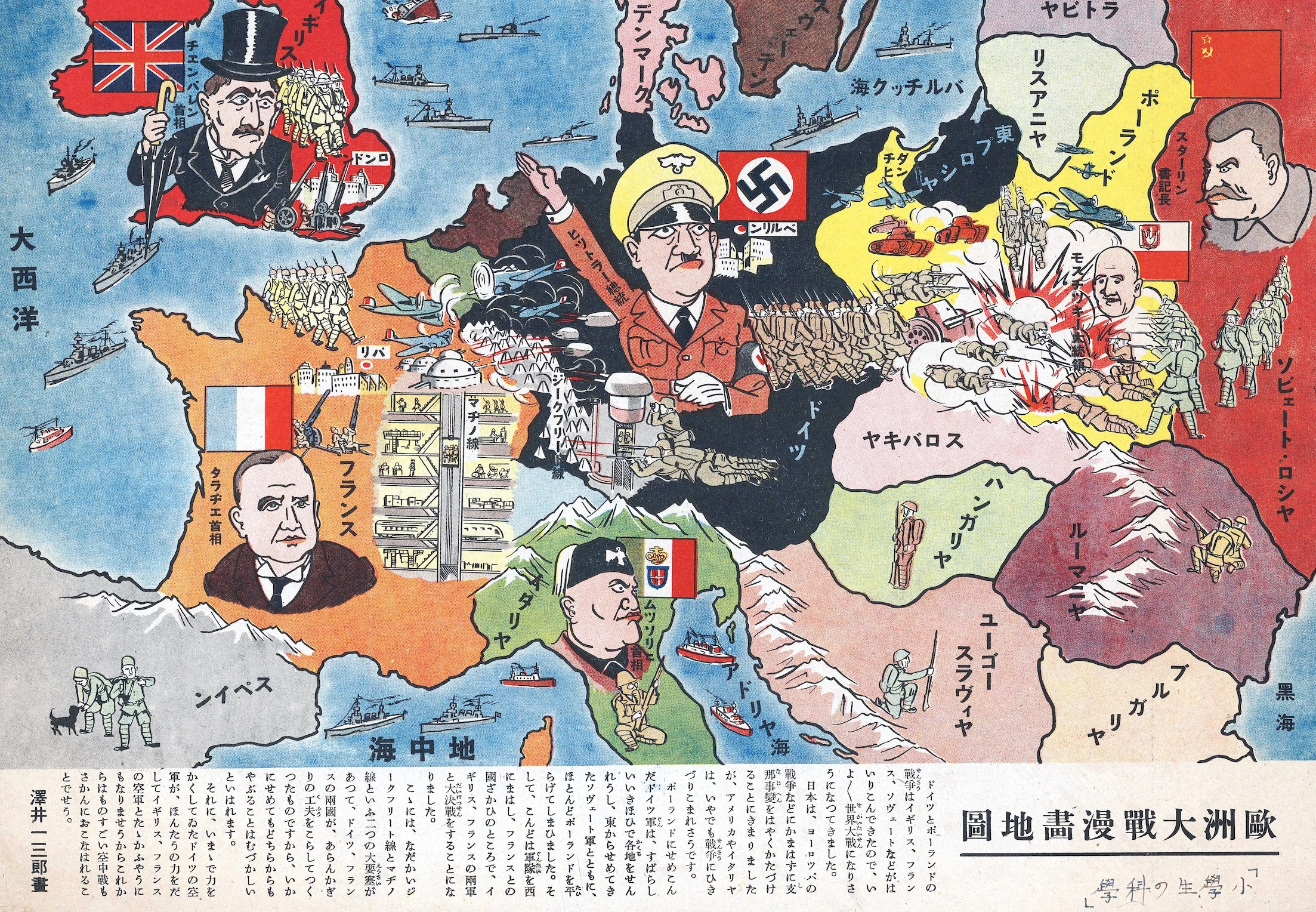
Designed by Ichisaburō Sawai and titled 'Pictorial Map of the Great European War', the map shows Germany and the Soviet Union invading Poland, with British and French Prime Ministers Neville Chamberlain and Édouard Daladier looking on in concern. Air and naval battles also take place in the West. Mussolini looks angrily across the Adriatic. Hitler occupies the centre of the map.
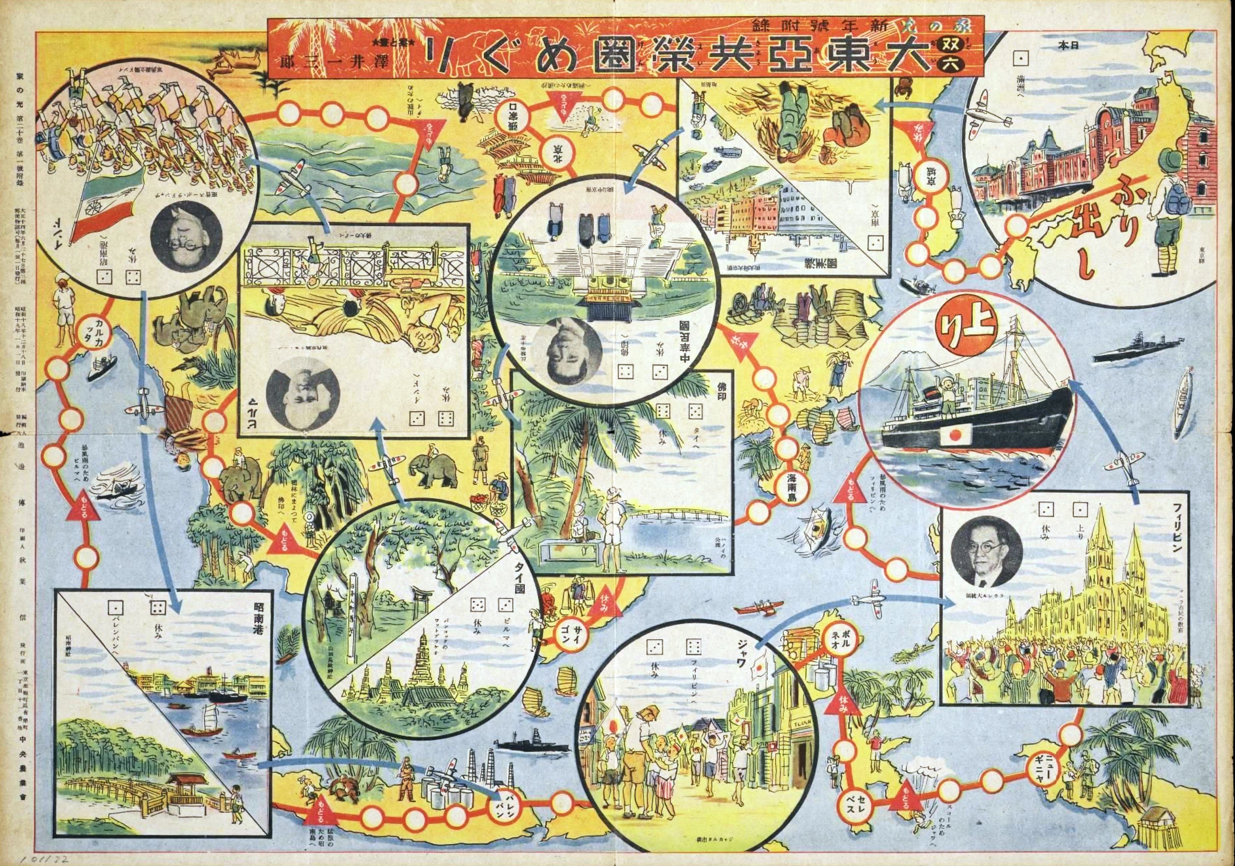
Seemingly produced as an educational map for children, not necessarily propagandistic but interesting all the same. Ichisaburō Sawai produced at least one other, more openly propagandistic map (or board game?) later in the war (ca. 1944) celebrating the Japanese Empire.
Translation of the text at the bottom:
With the involvement of Britain, France, the Soviet Union, and others, the war between Germany and Poland is on the verge of becoming a world war.
Japan has decided to quickly resolve the China incident without paying attention to the European war, but it seems that the United States and Italy will be dragged into the war whether they want to or not.
The German army invaded Poland, occupying various areas with incredible force, and together with the Soviet army attacking from the east, they nearly devoured the whole country. They then turned their forces west, ready for a decisive battle with British and French forces on the French border.
There are two great fortresses here, the famous Siegfried Line and the Maginot Line, which the German and the French built using all their ingenuity, and it is said that they are difficult to breach no matter how hard an attacker tries.
In addition, the German air force, which has been hiding its strength until now, will begin to show its true strength and probably fight against the British and French air forces, so there will likely be some fierce air battles happening soon.