tag > KM
-
Third Rail Topic - A topic that is not to be touched.
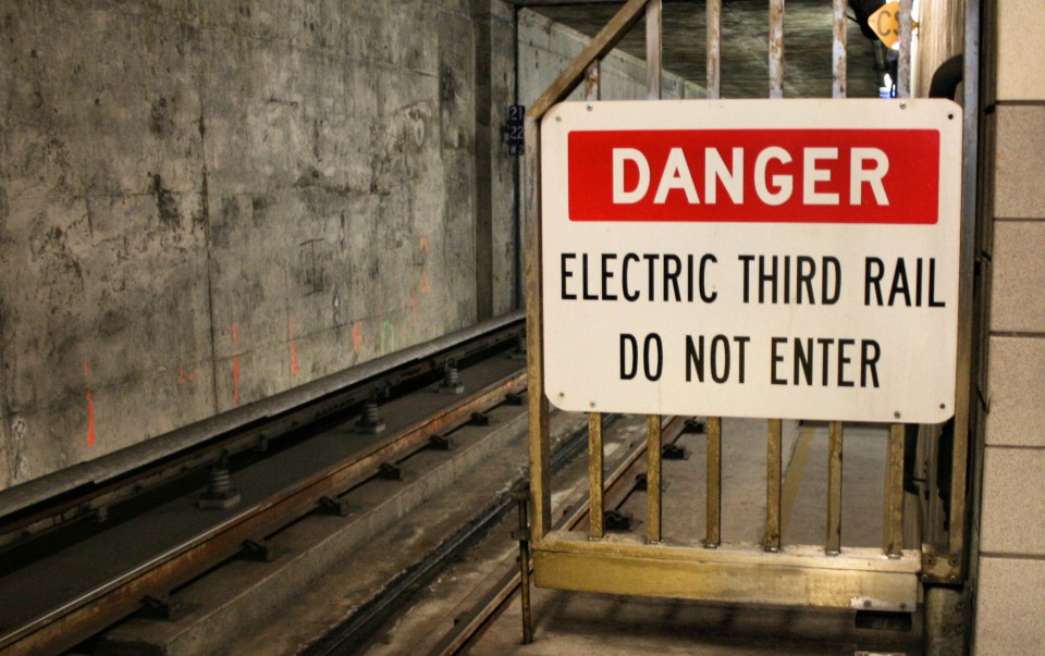
It is a subject, concept or interpretation of events signposted by The Powers That Be as being unsuitable for any kind of public or academic debate and where offenders are at risk of (unspecified) serious adverse consequences. Third rail topics are one aspect of the censorship of commercially-controlled media.
-
The made-up African mountains: A historic case highlighting the dangers of abstraction
In 1798, the English cartographer James Rennell invented a high mountain range thousands of kilometers long and drew it on a new map of Africa: the Kong Mountains. The story is completely absurd, but you can also learn something from phantom mountains.
Rennell was considered a great geographical authority of the British Age of Discovery. When he drew maps for the travelogue of the Scottish explorer Mungo Park (1796) and located a large new mountain range on them, no one had any reason to doubt their existence.
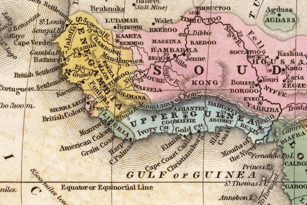
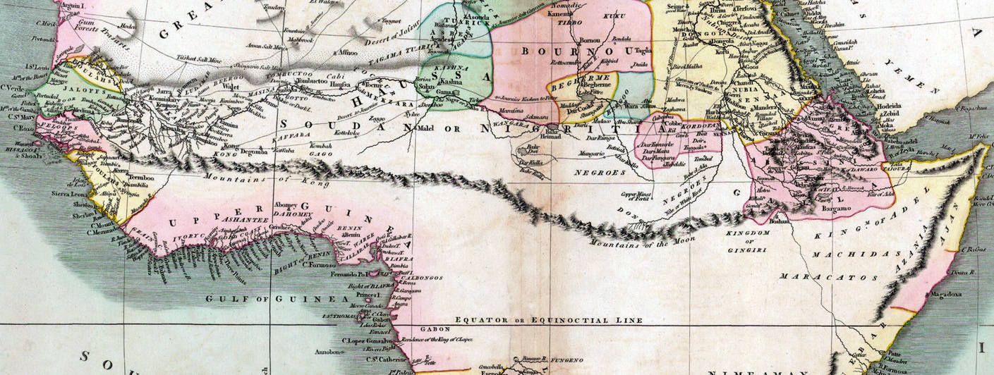
So one cartographer after the other took over the knowledge of the new mountains. They appear in at least 40 maps between 1798 and 1892, and they got bigger and bigger (above: 1805, here: 1839). All on the basis of a remark by Park that he had seen 2 or 3 peaks.
From 1830 the course of the Niger was known and it was known that the mountains could not exist like this. Nevertheless, it took L.-G. Binger in 1889 (he didn't even find a range of hills) until the Kong Mountains finally began to disappear from the maps.
And even then they continued to lead a shadowy existence as a cartographic phantom for quite a while: The Kong Mountains can be found in the index of the Oxford Advanced Atlas from 1928 and even in an edition of Goode's Atlas from 1995.
The anecdote nicely illustrates how it can work with the transmission of knowledge in science: belief in authority plus "facts" assumption without own examination and a dose of ignorance. That is definitely not the rule, but one is not sure about it today either.
Found in: Simon Garfield, On The Map: Why the world looks the way it does, 2012, Chapter 11.
Also of interest: Ken Jennings, Maphead: Charting the Wide, Weird World of Geography Wonks, 2012.
(via)
-
The Internet Is Rotting - By Jonathan Zittrain (theatlantic)
"The glue that holds humanity’s knowledge together is coming undone."

-
The YouTube Revolution in Knowledge Transfer - by Samo Burja (2019)
-
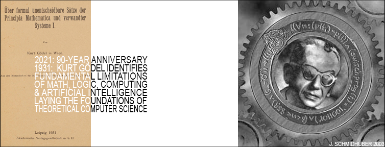
Today is the 90th anniversary of Kurt Gödel's 1931 paper, which laid the foundations of theoretical computer science, identifying fundamental limitations of algorithmic theorem proving, computing, AI, logics, and math itself. - Text by Jürgen Schmidhuber
-
Intuition and Anticipation in Navigating Complexity with Dave Snowden
-
"The impediment to action advances action. What stands in the way becomes the way." - Marcus Aurelius
-
Not invented here (NIH) is the tendency to avoid using or buying products, research, standards, or knowledge from external origins. It is usually adopted by social, corporate, or institutional cultures. Research illustrates a strong bias against ideas from the outside.
-
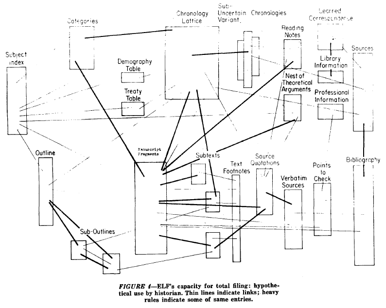
“A File Structure for the Complex, the Changing, and the Indeterminate” - Ted Nelson (1965)
-
"Some would say that we have some sort of telepathy or symbiotic relationship. Others would say we just have one idea" - Wachowski Brothers