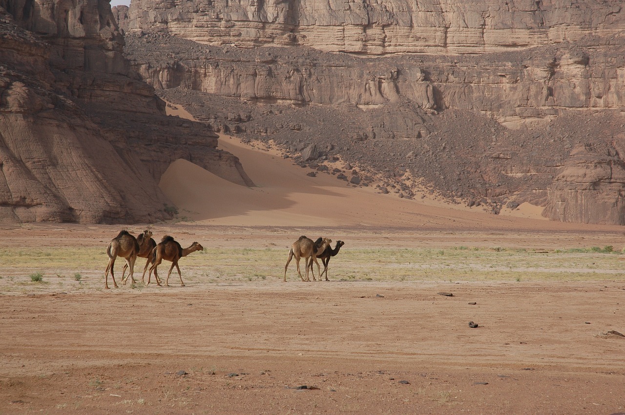
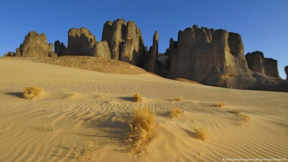
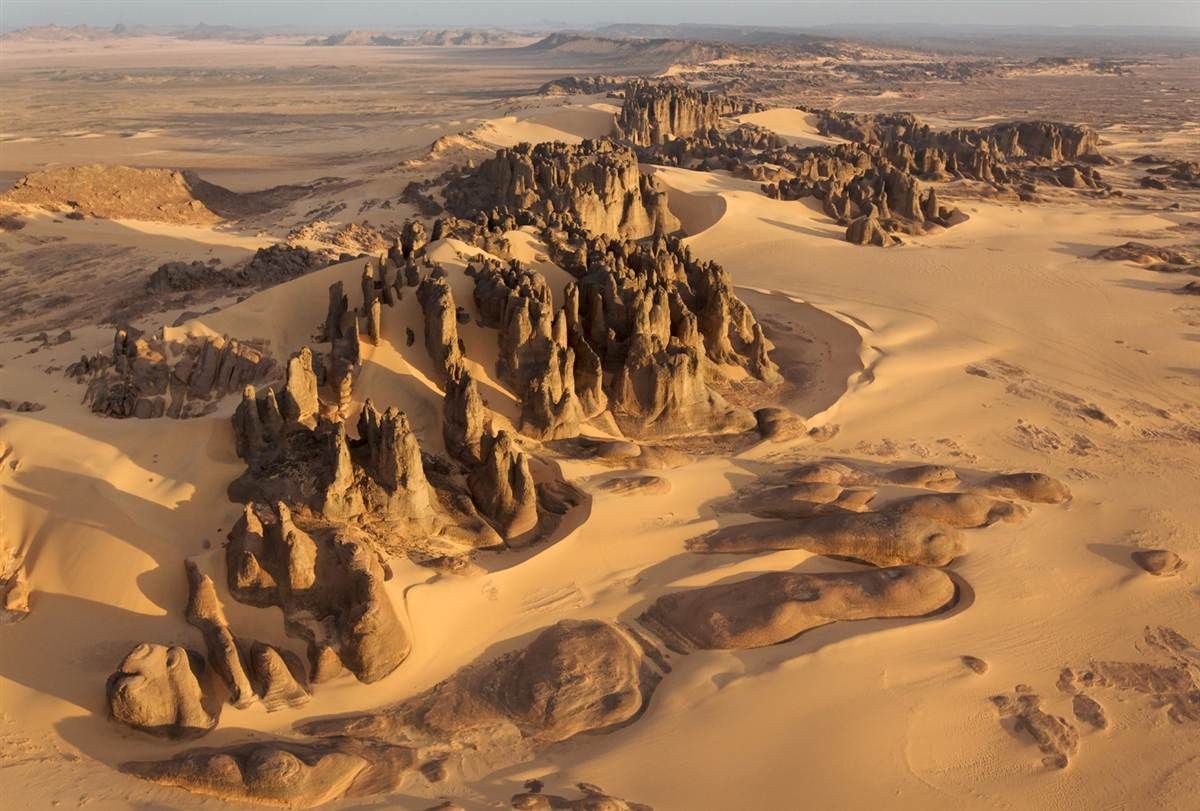
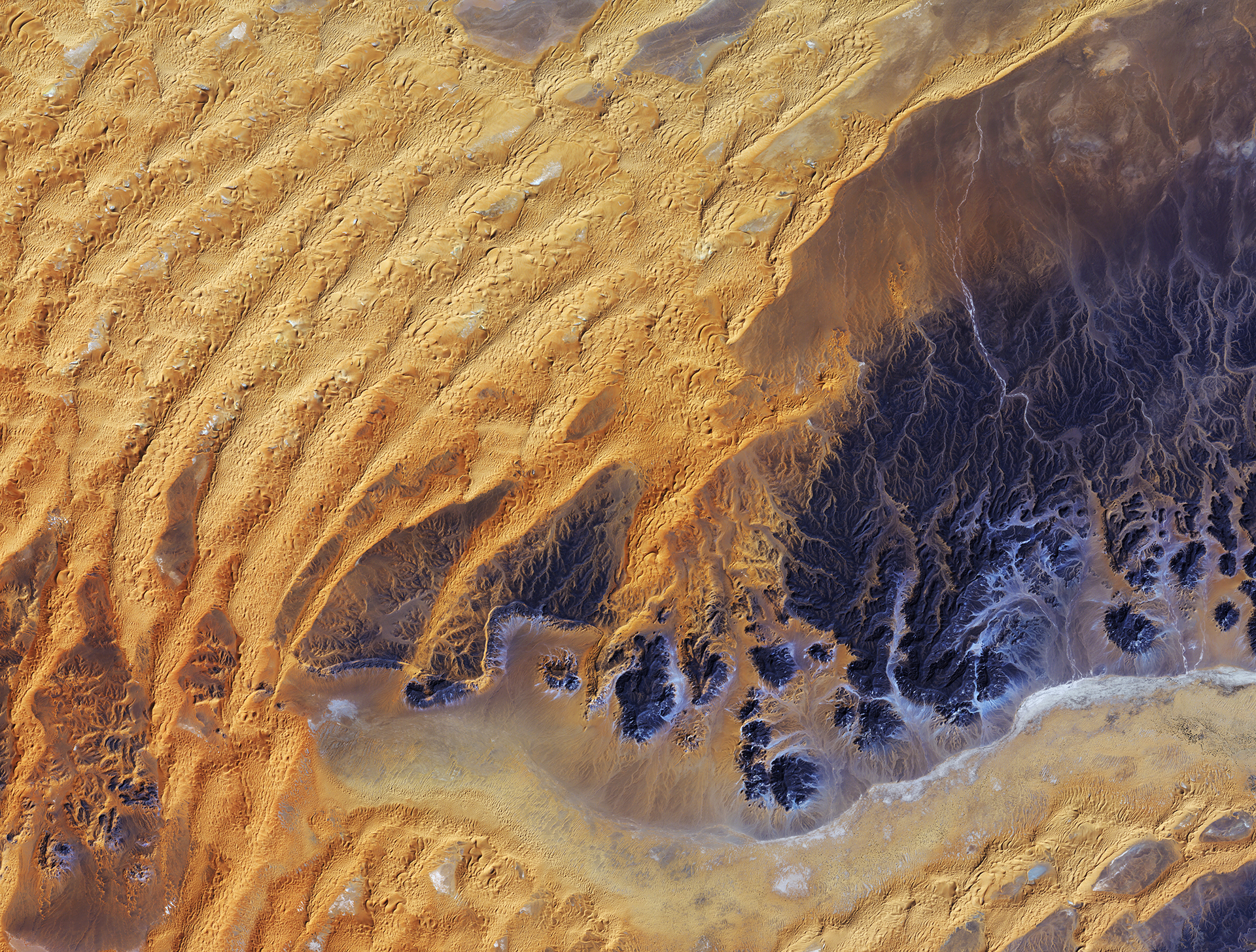
tag > Africa
-
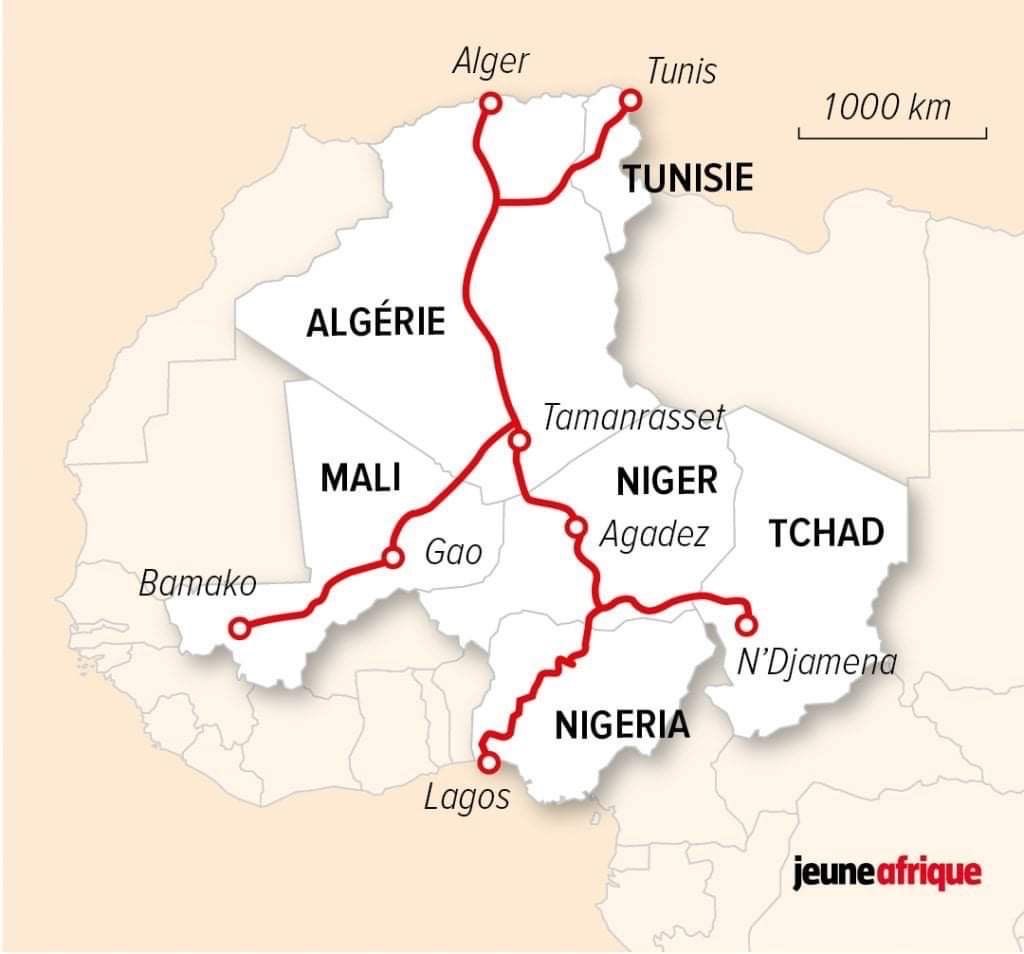
The 4500km Trans-Sahara Highway linking Tunis, Algiers, Bamako, Niamey, Ndjamena and Lagos is now completed (with a bit of help from china)
-
The remains of the Kingdom of Kush
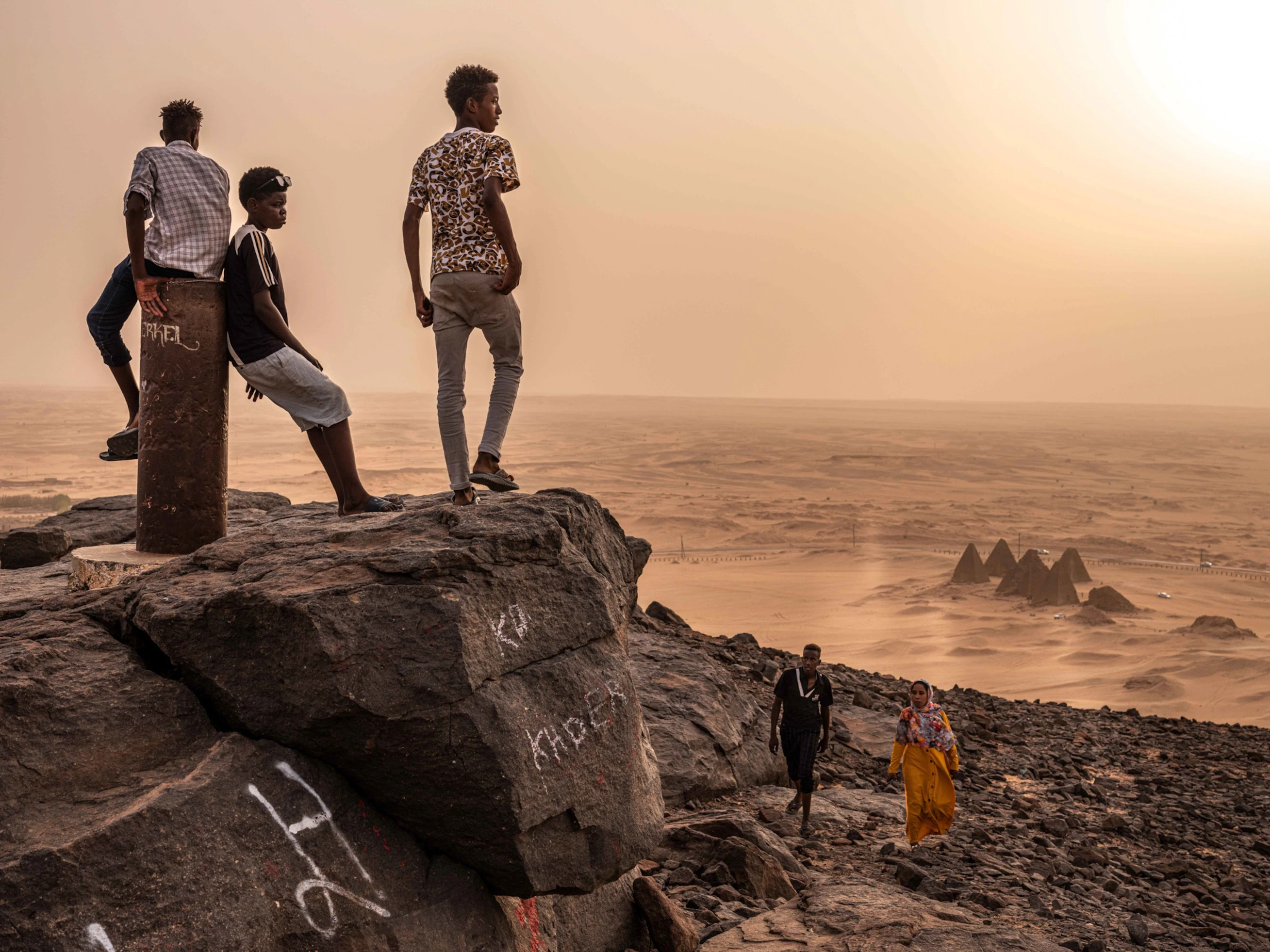
Photo of sudanese tourists visit Jebel Barkal to climb the small butte that has been considered sacred for thousands of years, especially when the Kingdom of Kush was at its height. Ruins of temples, one of which was dedicated to a god living atop the butte, are scattered around the base of the mountain. The legendary Kingdom of Kush, with its capitals in what is now northern Sudan, helped define the political and cultural landscape of northeastern Africa for more than a thousand years. Yet past archaeologists have offhandedly—and inaccurately—dismissed the Kushite kings as racially inferior, and their accomplishments as an inheritance of older Egyptian traditions. - Photograph by Nichole Sobecki
-
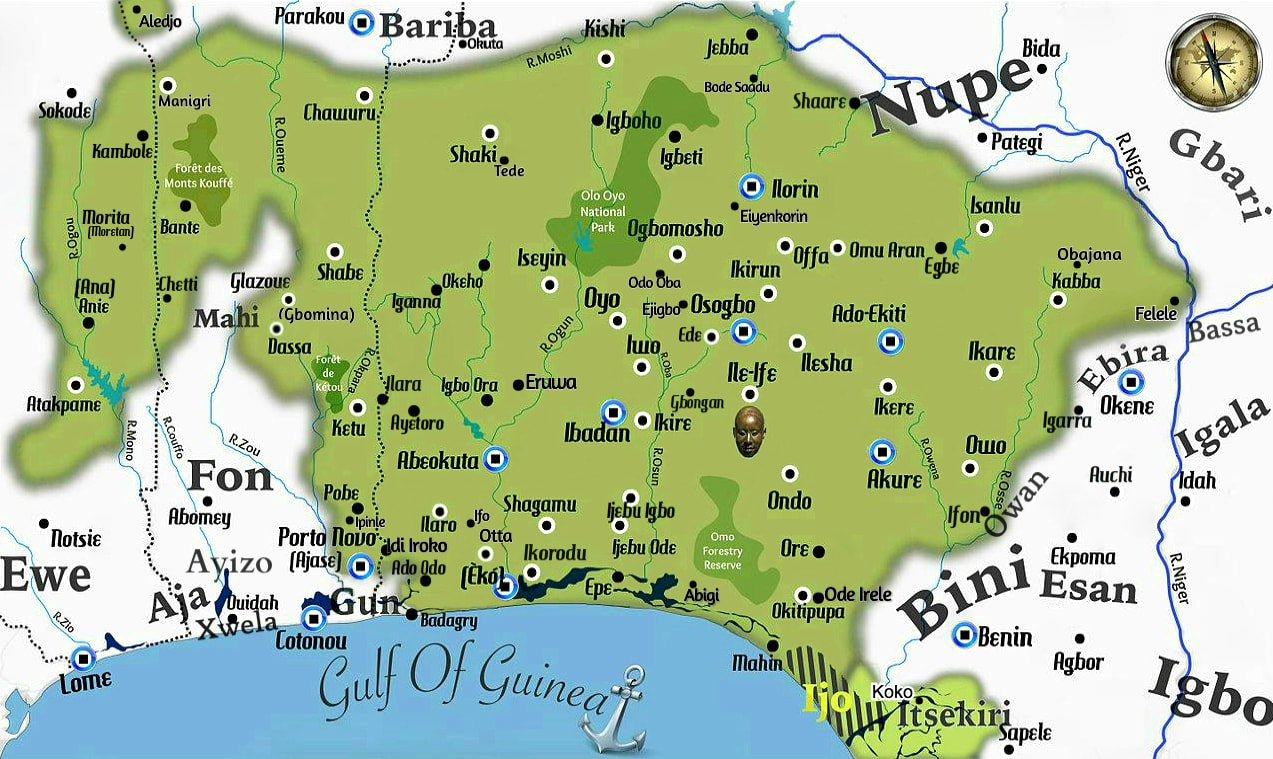
"Anyone who sees beauty and does not look at it will soon be poor" - Yoruba Proverb
-
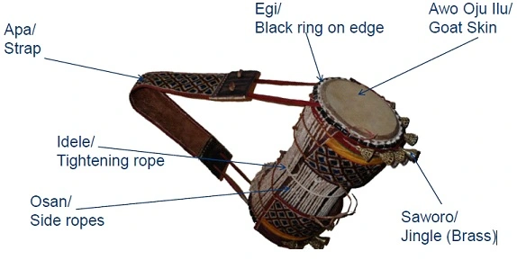
Talking drum is a drum from West Africa, whose pitch can mimic the tone and prosody of speech.


-
Disgusting Colonial Mentality, illustrated with Evelyn Baring, 1st Earl of Cromer
#Comment: If one pays close attention, it is evident that the UK and many of the other "former" colonial powers are still run by such deeply hateful, disgusting madmen up to this day.
-
The made-up African mountains: A historic case highlighting the dangers of abstraction
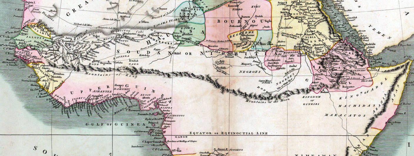
In 1798, the English cartographer James Rennell invented a high mountain range thousands of kilometers long and drew it on a new map of Africa: the Kong Mountains. The story is completely absurd, but you can also learn something from phantom mountains.
Rennell was considered a great geographical authority of the British Age of Discovery. When he drew maps for the travelogue of the Scottish explorer Mungo Park (1796) and located a large new mountain range on them, no one had any reason to doubt their existence.
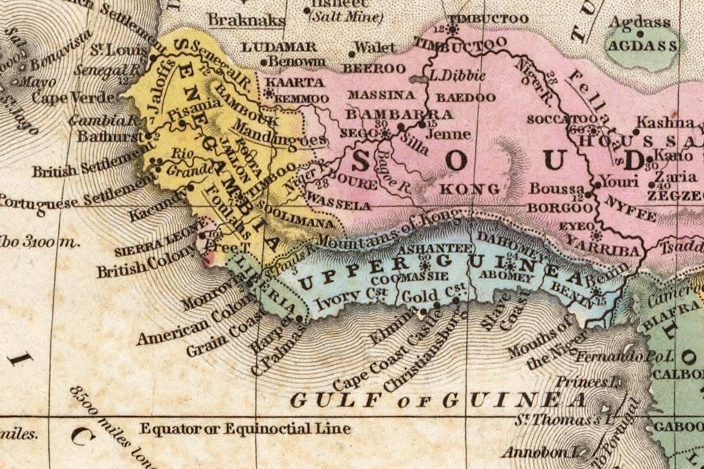
So one cartographer after the other took over the knowledge of the new mountains. They appear in at least 40 maps between 1798 and 1892, and they got bigger and bigger (above: 1805, here: 1839). All on the basis of a remark by Park that he had seen 2 or 3 peaks.
From 1830 the course of the Niger was known and it was known that the mountains could not exist like this. Nevertheless, it took L.-G. Binger in 1889 (he didn't even find a range of hills) until the Kong Mountains finally began to disappear from the maps.
And even then they continued to lead a shadowy existence as a cartographic phantom for quite a while: The Kong Mountains can be found in the index of the Oxford Advanced Atlas from 1928 and even in an edition of Goode's Atlas from 1995.
The anecdote nicely illustrates how it can work with the transmission of knowledge in science: belief in authority plus "facts" assumption without own examination and a dose of ignorance. That is definitely not the rule, but one is not sure about it today either.
Found in: Simon Garfield, On The Map: Why the world looks the way it does, 2012, Chapter 11.
Also of interest: Ken Jennings, Maphead: Charting the Wide, Weird World of Geography Wonks, 2012.
(via)
-
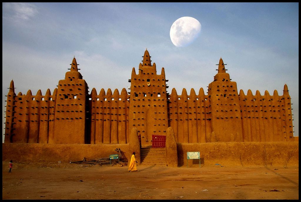
The Great Mosque of Djenné, Mali: The World's Largest Mud-Brick Structure